 Polish Polar DataBase
UAV, aerial photos
Type of resources
Topics
Keywords
Contact for the resource
Provided by
Update frequencies
status
-
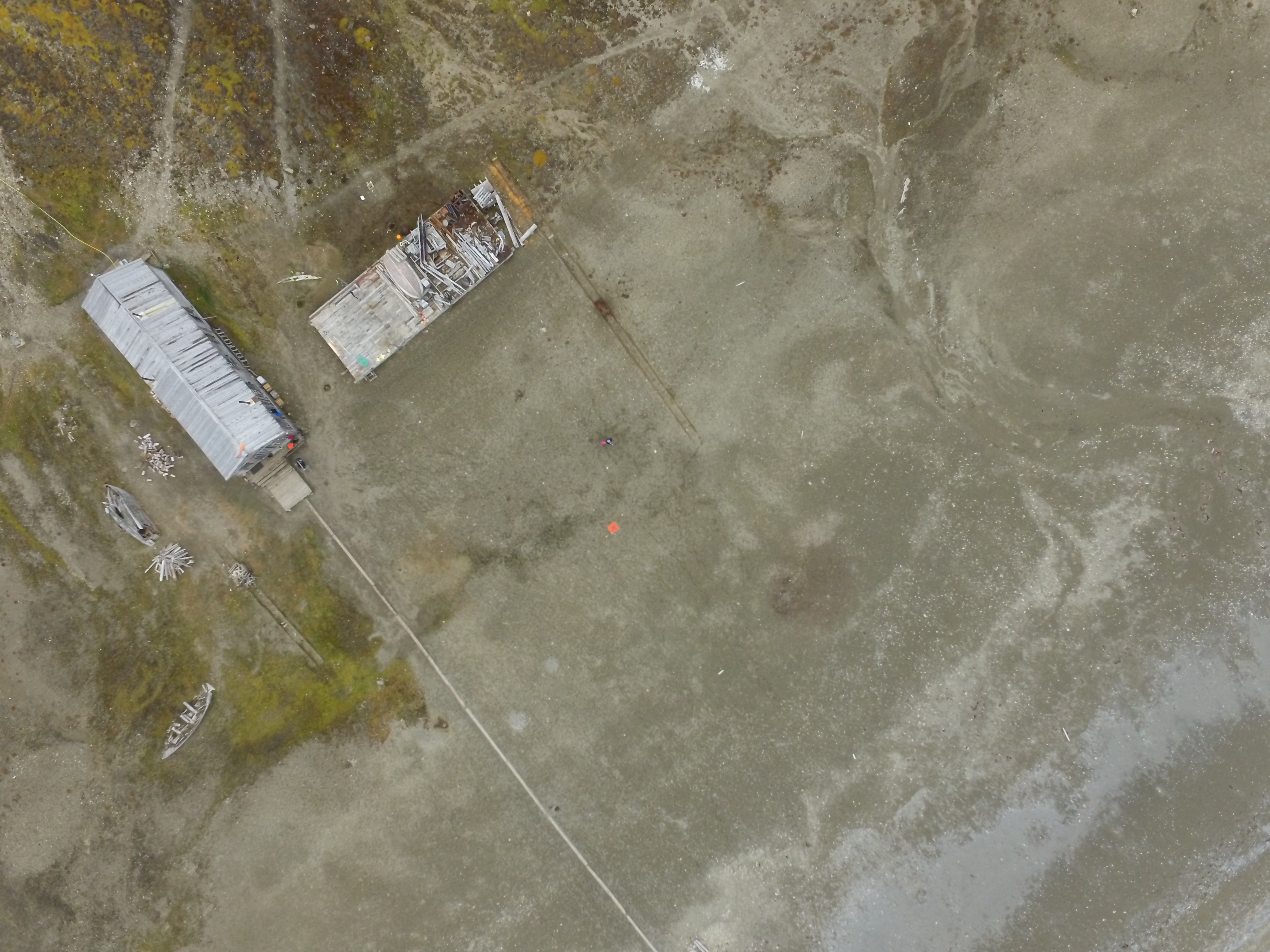
1. Dataset of UAV vertical aerial photos of Calypsobyen obtained from height of: 100m (58 photos), 60m (45 photos) and 30m (59 photos). Used UAV: Phantom 3 Advanced, date of acqusition: 16 Aug 2016. 2. Dataset of UAV vertical aerial photos of Paierlbreen east morain/dead ice obtained from height of 50m (152 photos). Area covered: ~250x~130m (with gaps).Used UAV: Phantom 3 Advanced, date of acqusition: 22 Aug 2016. 3. Dataset of UAV vertical aerial photos of Storbreen, close to Komsa (52 photos). Area covered: ~350x~230m. Used UAV: Phantom 3 Advanced, date of acqusition: 21 Aug 2016. 4. Dataset of UAV vertical aerial photos of Werenskoildbreen's south moraine (300 photos). Area covered: ~200x~350m and ~250x~250m. Used UAV: Phantom 3 Advanced, date of acqusition: 7 Sep 2016.